Discounted Bundle of Searches
Order the most common searches required for purchasing a property at a discounted price.
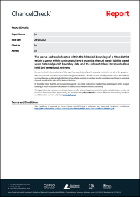
Chancel Search
Drainage & Water

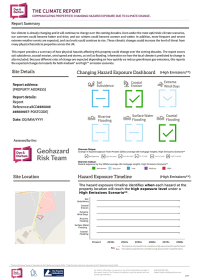
Climate Risk Report
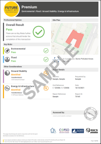
Environmental Report
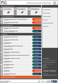
Regulated Local Authority
£325 INC VAT
Order a Search Bundle
*This only applies to properties currently registered at the Land Registry with a downloadable title plan. If we cannot download a title plan we will inform you and refund the cost of the Report in full.